Note
Click here to download the full example code
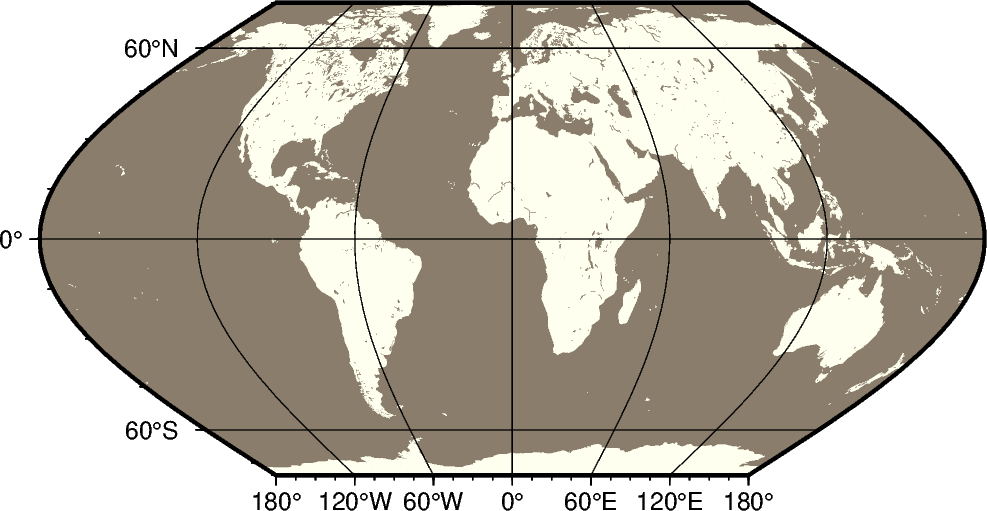
Eckert VI
The Eckert VI projections, presented by the German cartographer Max Eckert-Greiffendorff in 1906, is a pseudo-cylindrical equal-area projection. Central meridian and all parallels are straight lines; other meridians are equally spaced sinusoids. The scale is true along latitude 49°16’.
ks[lon0/]scale or Ks[lon0/]width
The projection is set with ks or Ks. The central meridian is set with the optional lon0, and the figure size is set with scale or width.
Out:
<IPython.core.display.Image object>
import pygmt

fig = pygmt.Figure()
# Use region "d" to specify global region (-180/180/-90/90)
fig.coast(region="d", projection="Ks12c", land="ivory", water="bisque4", frame="afg")
fig.show()
Total running time of the script: ( 0 minutes 0.944 seconds)