Note
Click here to download the full example code
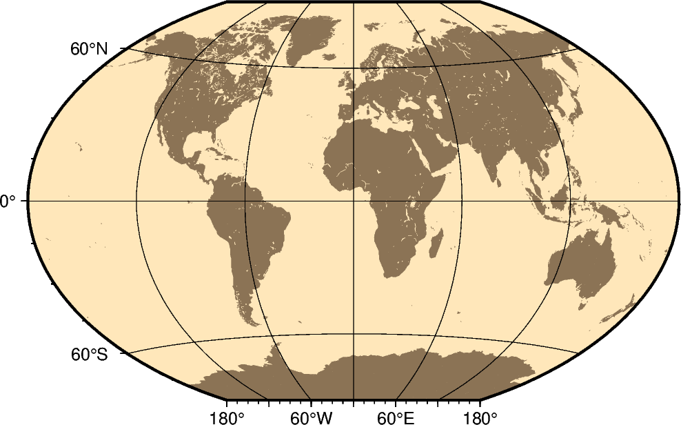
Winkel Tripel
In 1921, the German mathematician Oswald Winkel made a projection that was to strike a compromise between the properties of three elements (area, angle and distance). The German word “tripel” refers to this junction of where each of these elements are least distorted when plotting global maps. The projection was popularized when Bartholomew and Son started to use it in its world-renowned “The Times Atlas of the World” in the mid-20th century. In 1998, the National Geographic Society made the Winkel Tripel as its map projection of choice for global maps.
Naturally, this projection is neither conformal, nor equal-area. Central meridian and equator are straight lines; other parallels and meridians are curved. The projection is obtained by averaging the coordinates of the Equidistant Cylindrical and Aitoff (not Hammer-Aitoff) projections. The poles map into straight lines 0.4 times the length of equator.
r[lon0/]scale or R[lon0/]width
The projection is set with r or R. The central meridian is set with the optional lon0, and the figure size is set with scale or width.
Out:
coast [WARNING]: 3 annotations along the bottom border were skipped due to crowding.
coast [WARNING]: Crowding decisions is controlled by MAP_ANNOT_MIN_SPACING, currently set to 24.9687p.
coast [WARNING]: Decrease or increase MAP_ANNOT_MIN_SPACING to see more or fewer annotations, with 0 showing all annotations.
<IPython.core.display.Image object>
import pygmt

fig = pygmt.Figure()
# Use region "d" to specify global region (-180/180/-90/90)
fig.coast(region="d", projection="R12c", land="burlywood4", water="wheat1", frame="afg")
fig.show()
Total running time of the script: ( 0 minutes 0.956 seconds)