Note
Click here to download the full example code
Images or EPS files on maps
The pygmt.Figure.image method can be used to read and
place a raster image file or an Encapsulated PostScript file
on a map. We must specify the file as str via the imagefile
argument or simply use the filename as the first argument. You can
also use a full URL pointing to your desired image. The position
argument allows us to set a reference point on the map for the image.
Out:
image [NOTICE]:   -> Download URL file: https://www.generic-mapping-tools.org/_static/gmt-logo.png

<IPython.core.display.Image object>
import os
import pygmt
fig = pygmt.Figure()
fig.basemap(region=[0, 2, 0, 2], projection="X6c", frame=True)
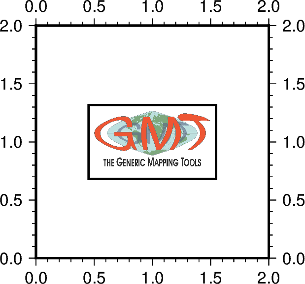
# place and center the GMT logo from the GMT website to the position 1/1
# on a basemap and draw a rectangular border around the image
fig.image(
imagefile="https://www.generic-mapping-tools.org/_static/gmt-logo.png",
position="g1/1+w3c+jCM",
box=True,
)
# clean up the image downloaded in the current directory
os.remove("gmt-logo.png")
fig.show()
Total running time of the script: ( 0 minutes 1.234 seconds)